
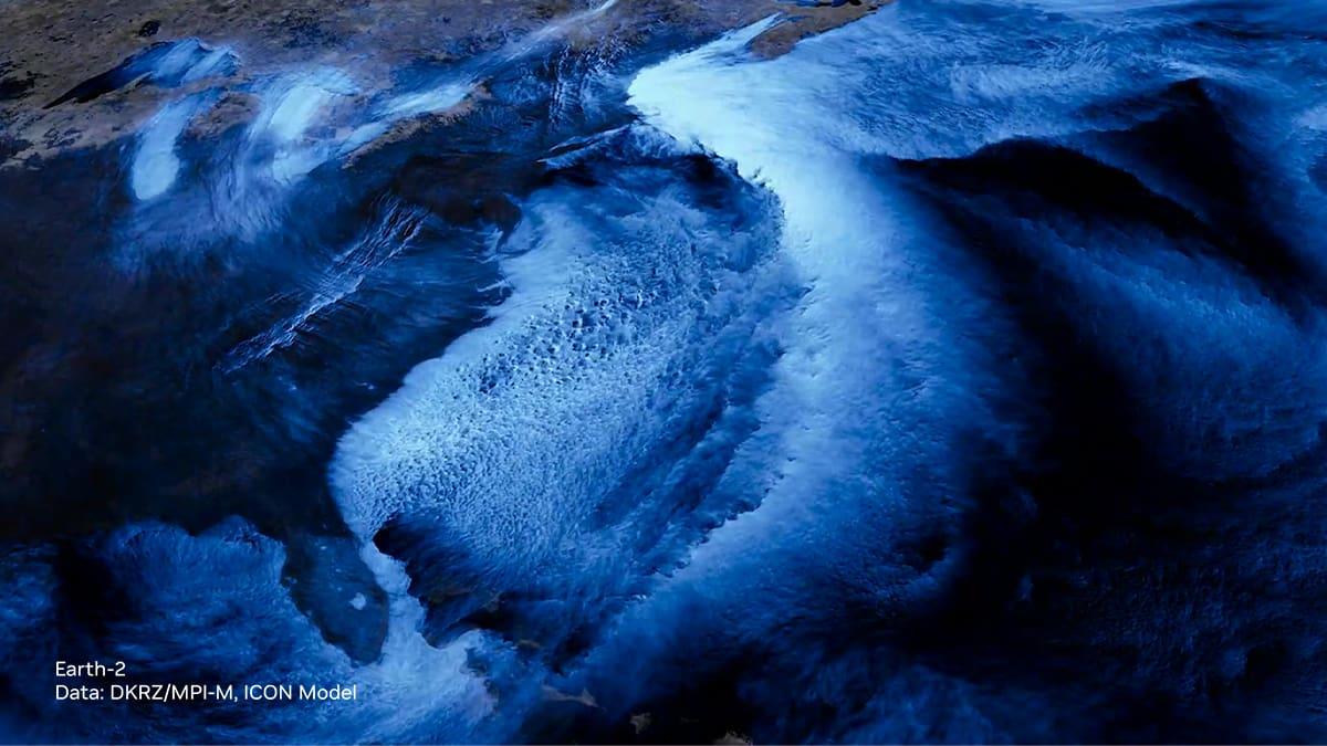
FourCastNet predicts global atmospheric dynamics of various weather / climate variables.
Super Cyclonic Storm Amphan was one of the strongest tropical cyclones to affect the Bay of Bengal region in recent years, making landfall in May 2020. With wind speeds reaching up to 240 km/h (150 mph), Amphan caused widespread devastation across parts of India and Bangladesh, particularly impacting the Sundarbans region, a UNESCO World Heritage Site known for its unique ecosystem. The storm triggered heavy rainfall, storm surges, and powerful winds, leading to extensive damage to infrastructure, homes, and agriculture. Millions of people were evacuated from vulnerable areas, and the combined effects of the cyclone and the COVID-19 pandemic posed significant challenges for emergency response efforts.
Typhoon Hagibis, a powerful tropical cyclone, struck Japan in October 2019, leaving a trail of destruction in its wake. With wind speeds reaching up to 195 km/h (121 mph), Hagibis was one of the strongest storms to hit Japan in decades. The typhoon brought heavy rainfall, triggering widespread flooding and landslides across various regions, particularly affecting the Greater Tokyo Area and surrounding prefectures.
Atmospheric rivers are narrow corridors of concentrated moisture in the atmosphere that can transport large amounts of water vapor across vast distances. In California, these atmospheric rivers play a crucial role in the state's water supply and precipitation patterns. Atmospheric rivers pose risks of flooding, landslides, and other hazards, especially when they interact with topographical features like mountain ranges. Understanding and monitoring atmospheric rivers has become increasingly important for water resource management and disaster preparedness in California.
Hurricane Harvey was a catastrophic tropical cyclone that struck the Gulf Coast of the United States, primarily impacting Texas and Louisiana, in August 2017. Harvey initially formed as a tropical storm in the Atlantic Ocean before rapidly intensifying into a Category 4 hurricane. As it made landfall near Rockport, Texas, Harvey unleashed destructive winds and storm surges along the coast. However, it was the prolonged and record-breaking rainfall that followed, especially in the Houston metropolitan area, that caused the most significant devastation. Some areas received over 40 inches of rainfall, leading to catastrophic flooding, inundating homes, businesses, and infrastructure.
Cyclone Kyrill, also known as Storm Kyrill, was an intense European windstorm that struck parts of Western Europe in January 2007. It was one of the most severe storms to affect the region in decades. Kyrill originated as a rapidly developing extratropical cyclone over the North Atlantic Ocean, gaining strength as it approached the British Isles, Netherlands, Belgium, Germany, and other countries. With wind speeds exceeding 225 km/h (140 mph) in some areas, Kyrill brought widespread devastation, toppling trees, damaging buildings, and causing widespread power outages. The storm disrupted transportation networks, leading to the cancellation of thousands of flights, train services, and maritime operations.
GOVERNING TERMS: Your use of this API is governed by the NVIDIA API Trial Service Terms of Use; and the use of this model is governed by the NVIDIA AI Foundation Models Community License.